— Biography
Their story.
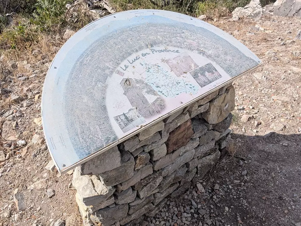
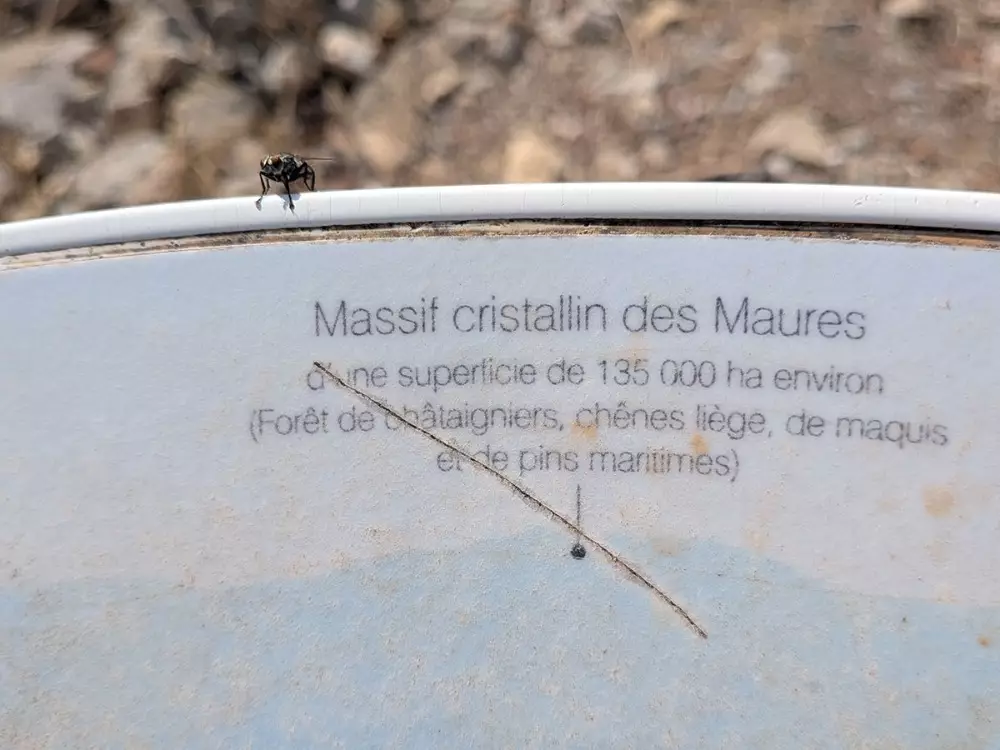
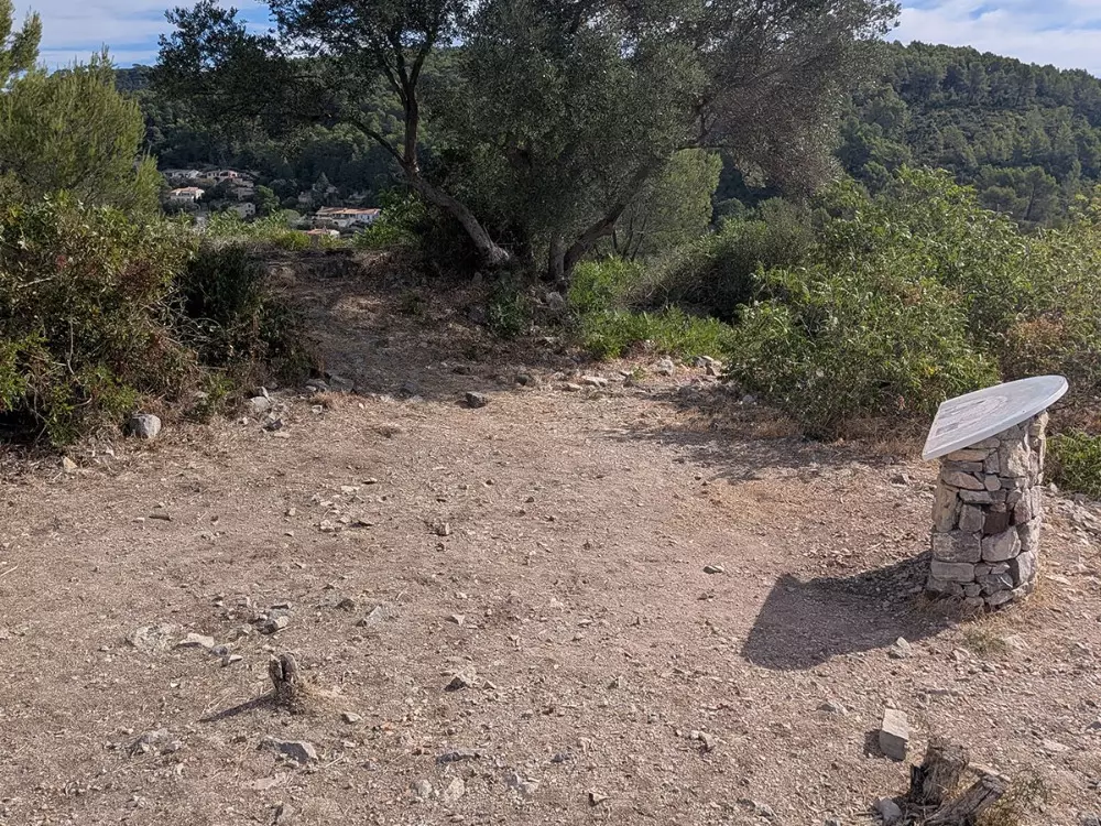
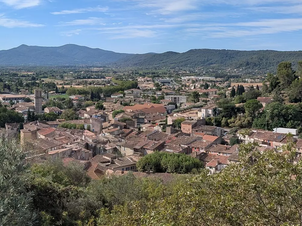
Le Luc-en-Provence: the Castellas orientation table, 180° of Provence. At the top of the hill, an enameled lava orientation table offers a panoramic view stretching from Toulon to the Gulf of Saint-Tropez. A snapshot of the Var at a single glance. Before the visitor lies the crystalline Maures mountain range, spanning approximately 135,000 hectares of chestnut trees, cork oaks, maritime pines, and maquis—with its peaks, hilltop villages, and, at its base, the plain and its protected wetlands. The map highlights both natural landmarks and archaeological sites, and notes in passing that the Castellas hill was not fortified by chance: from here, one can keep watch over everything.
- Three eras of hilltop villages in a single glance: The sign points out two oppida—La Madeleine and Fouirette—fortified villages from the Iron Age. From the ruins of the medieval village of Castellas, you can thus take in at a glance the protohistoric settlement, the medieval settlement, and, below, the modern village that has spread out across the plain.
- A lake managed by the Conservatoire du littoral… 25 km from the sea: The clearly visible Lac des Escarcets belongs to the Conservatoire du littoral and lies at the heart of the Plaine des Maures National Nature Reserve, an area of exceptional ecological richness and a refuge, in particular, for Hermann’s tortoise.
- The village where donkeys fly: Gonfaron, visible to the west, has for centuries been known by the nickname “the village of the flying donkey,” a name born of a persistent Provençal legend and which has become its emblem.
What you can see from the table
- Toulon and the harbor, due west
- The village of Gonfaron
- The village of Les Mayons
- The sanctuary of Notre-Dame des Anges (780 m), one of the oldest pilgrimage sites in Provence
- The Signal de la Sauvette, an iconic peak of the Maures
- The crystalline Maures massif (~135,000 ha)
- Lake Escarcets, owned by the Conservatoire du littoral
- Pioule Castle
- The Oppidum of La Madeleine and the Oppidum of Fouirette
- Toward La Garde-Freinet and the Gulf of Saint-Tropez, to the east